- Route: Linear
- Start/finish point: Brea – Entrecruces (Carballo)
- Length: 18.6 km (one way)
- Approximate duration (round trip): 8 h.
- Difficulty: Easy
We start this route on the outskirts of Carballo, in Brea, a place famous for its bakers.
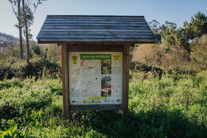
It is signposted and also enabled to perform in BBT.
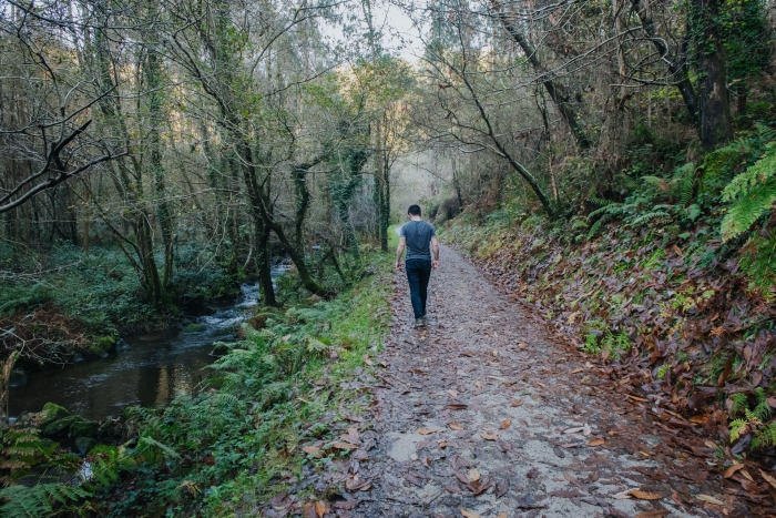
This route reveals the lesser-known Carballo, the interior, full of mountains and valleys that make up the landscape.
On the trails that are part of this route we will also discover the native and riverside vegetation.
If we choose one of the variants of the path, we will arrive at the baroque pazo of Vilardefrancos, whose tower was built in the time of the Catholic Monarchs.
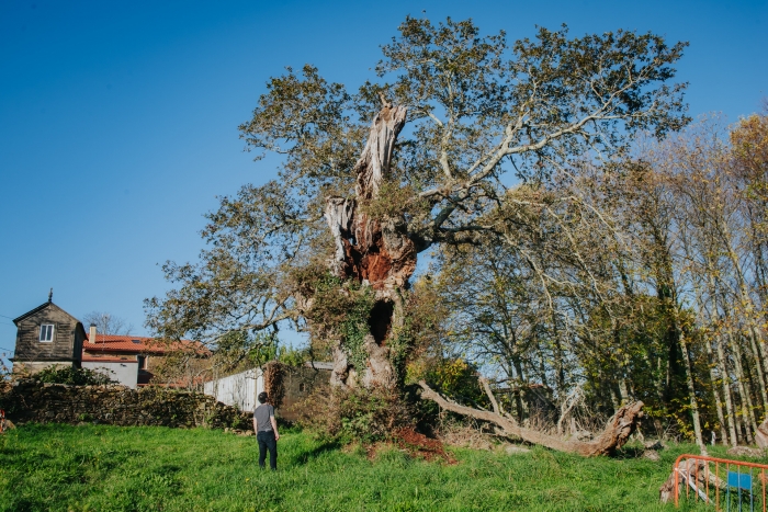
In this place we also find one of the oldest trees in Galicia: the Santo Antón oak tree with more than 500 years of life.
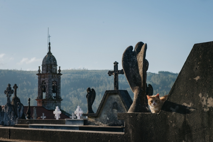
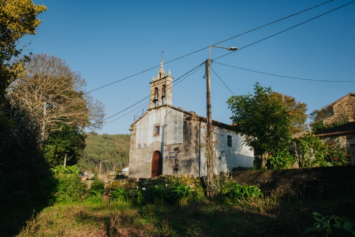
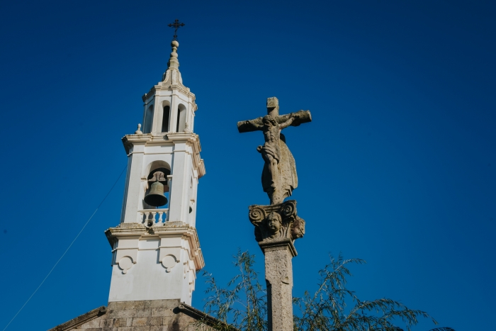
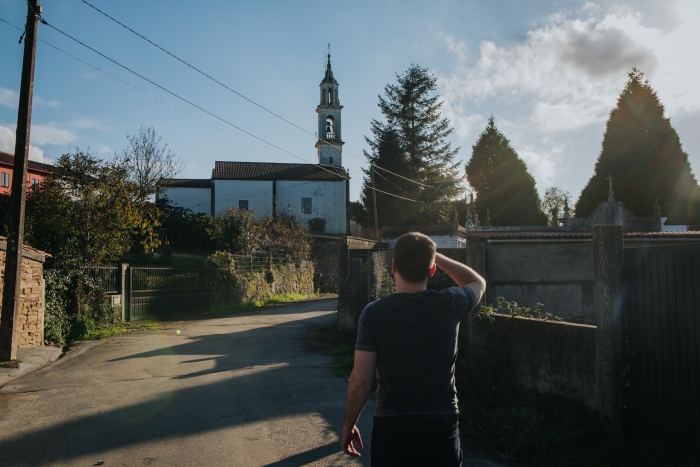
In addition, at the end of the path we will also find the church of San Paio de Entrecruces, with a Gothic ribbed vault that takes us back to medieval times.
Other buildings of interest that we will discover on this trail are the Baroque churches of Ardaña, Entrecruces and Santa María de Rus.
The latter is the most important from an artistic point of view.
We recommend going up to the top of the Peniqueira, where the elevation we see gives away an old fort.
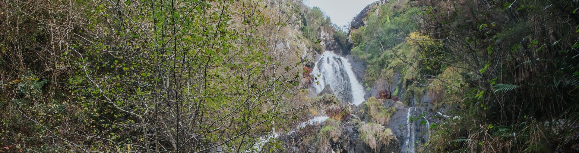
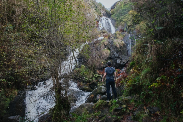
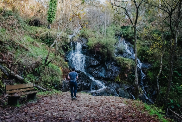
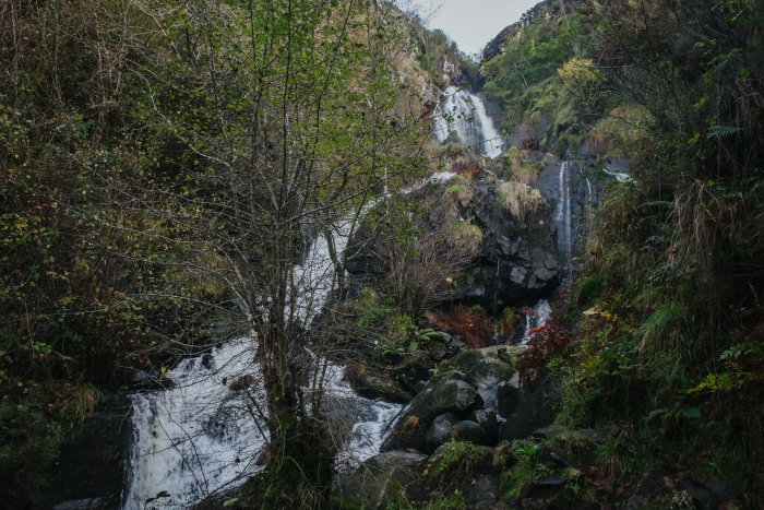
The two most spectacular places that we find on the route are, as its name suggests, the waterfalls of Ramíl, less high and plentiful, and that of Entrecruces, a spectacle especially in times of greater amount of water.
It is at this point where we will end the route.
A place where the Outón River, at a height of 40 meters, plunges into the void.
In addition, in the surroundings of Entrecruces we can find remains of old mills and an old hydroelectric power station that for a time supplied Carballo with energy.
It is a route fully integrated into the nature of the environment, through which we can enjoy a unique landscape made up of water and native vegetation.
In addition, we will discover the lesser-known side of Carballo and just as attractive.
We must complete our day in Carballo exploring the town while discovering the large murals that make up the project “Demolishing Walls with Paint”.
Another must-see is in the surroundings of Razo and the beach and marsh of Baldaio where we will find one of the richest ecosystems in Galicia and A Costa da Morte.
A day where you can discover the three faces of Carballo so different and complementary: the interior, the urban and the coastal.
Access to the route in our wikiloc profile
 1")


