Corcubión Estuary and Xallas River

Rivers and estuaries
Corcubión

Find out more about Corcubión Estuary and Xallas River

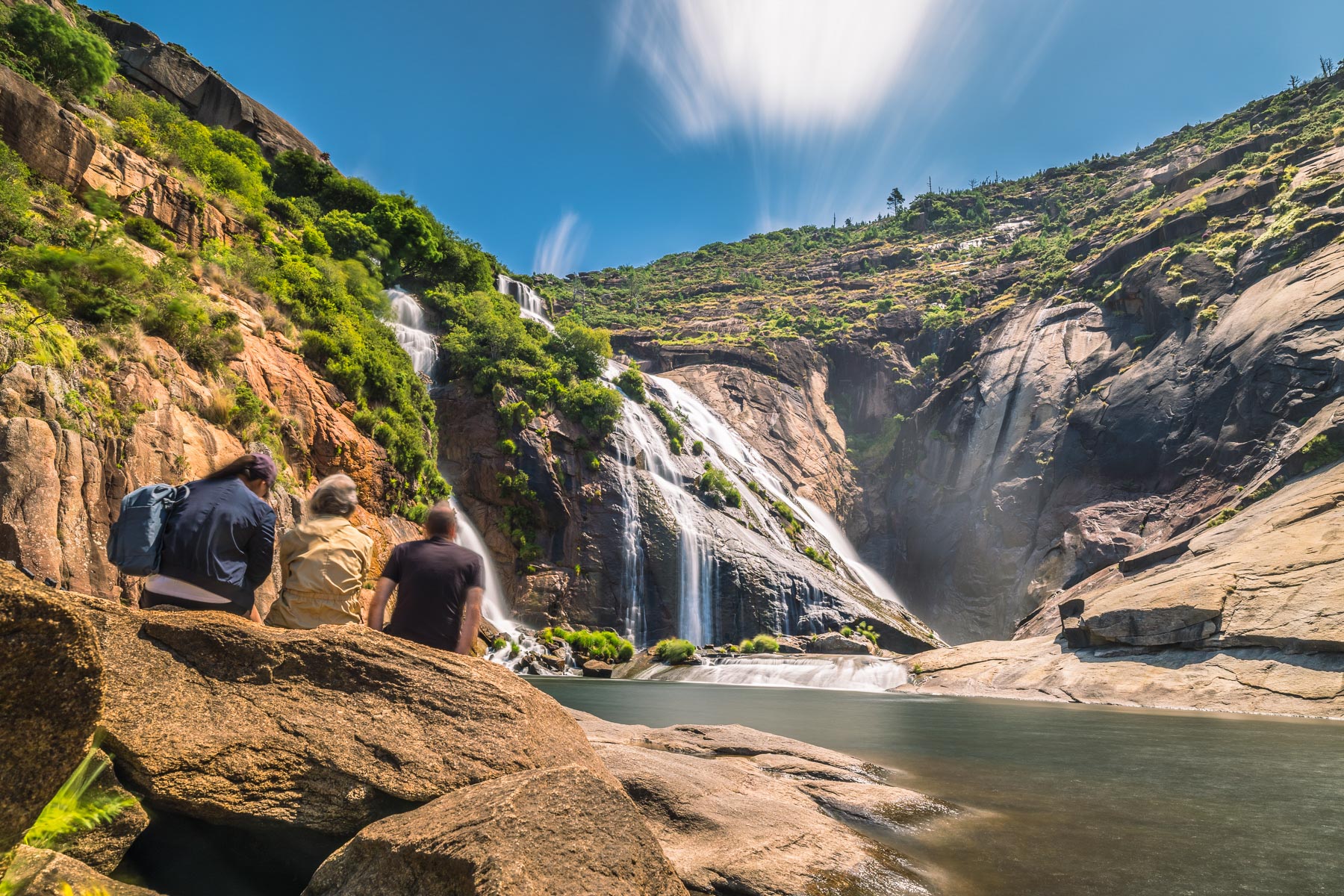
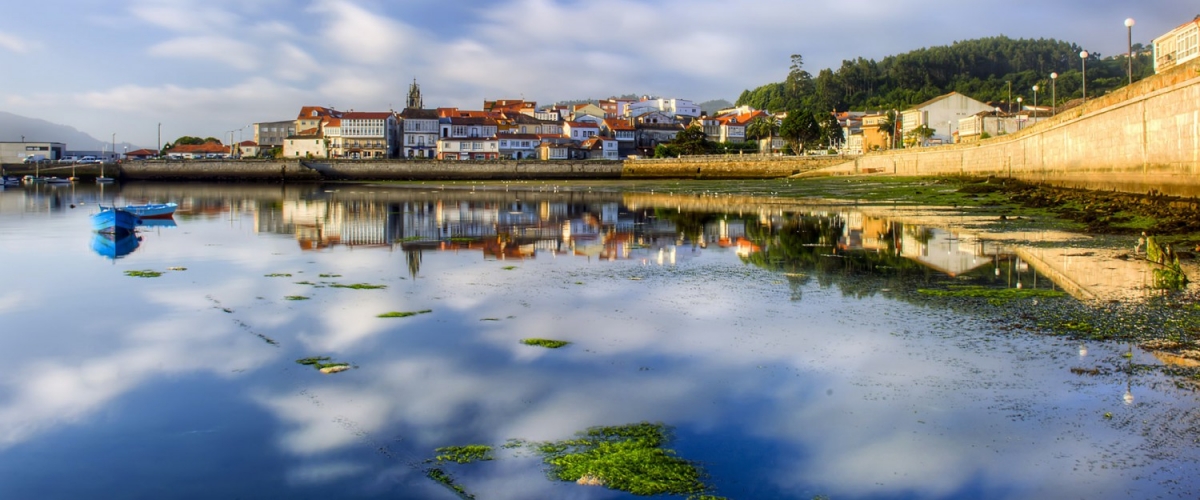
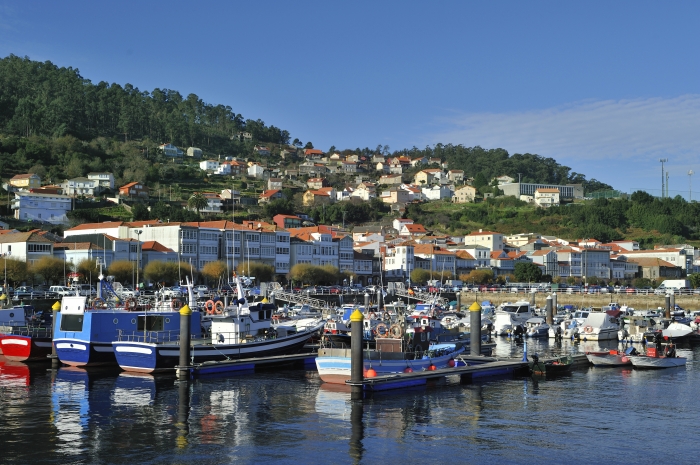
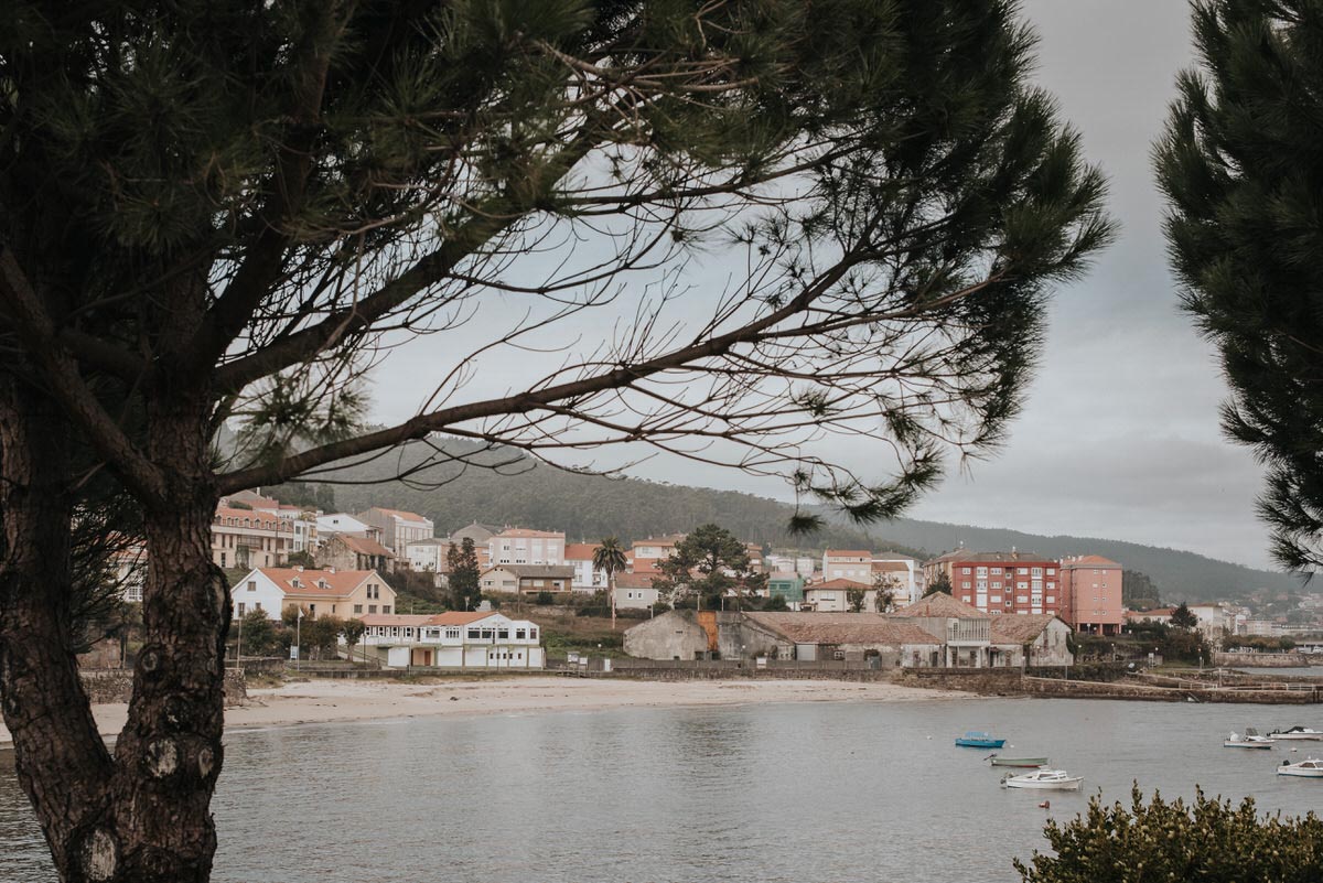
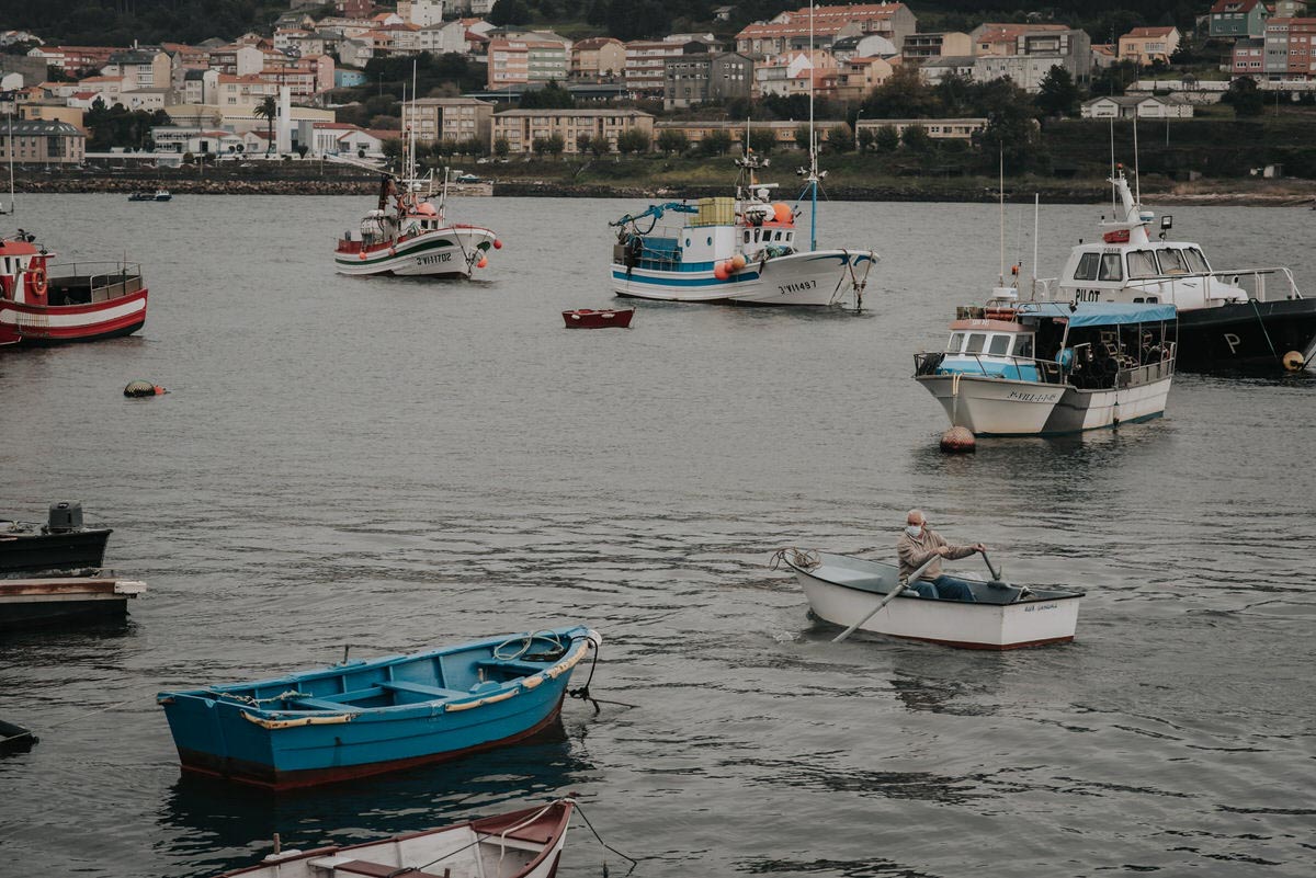
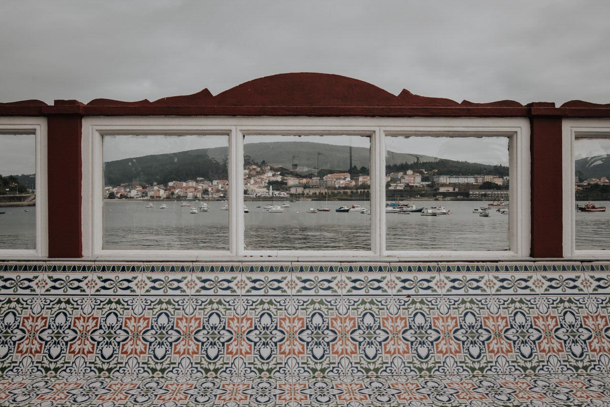
The third estuary of the Costa da Morte seen from north to south is that of Corcubión. This estuary has its ends at Cape Fisterra (Fisterra) and Lira and its apex is in the town of Corcubión, although the mouth of its river, the Xallas, is located in Ézaro.

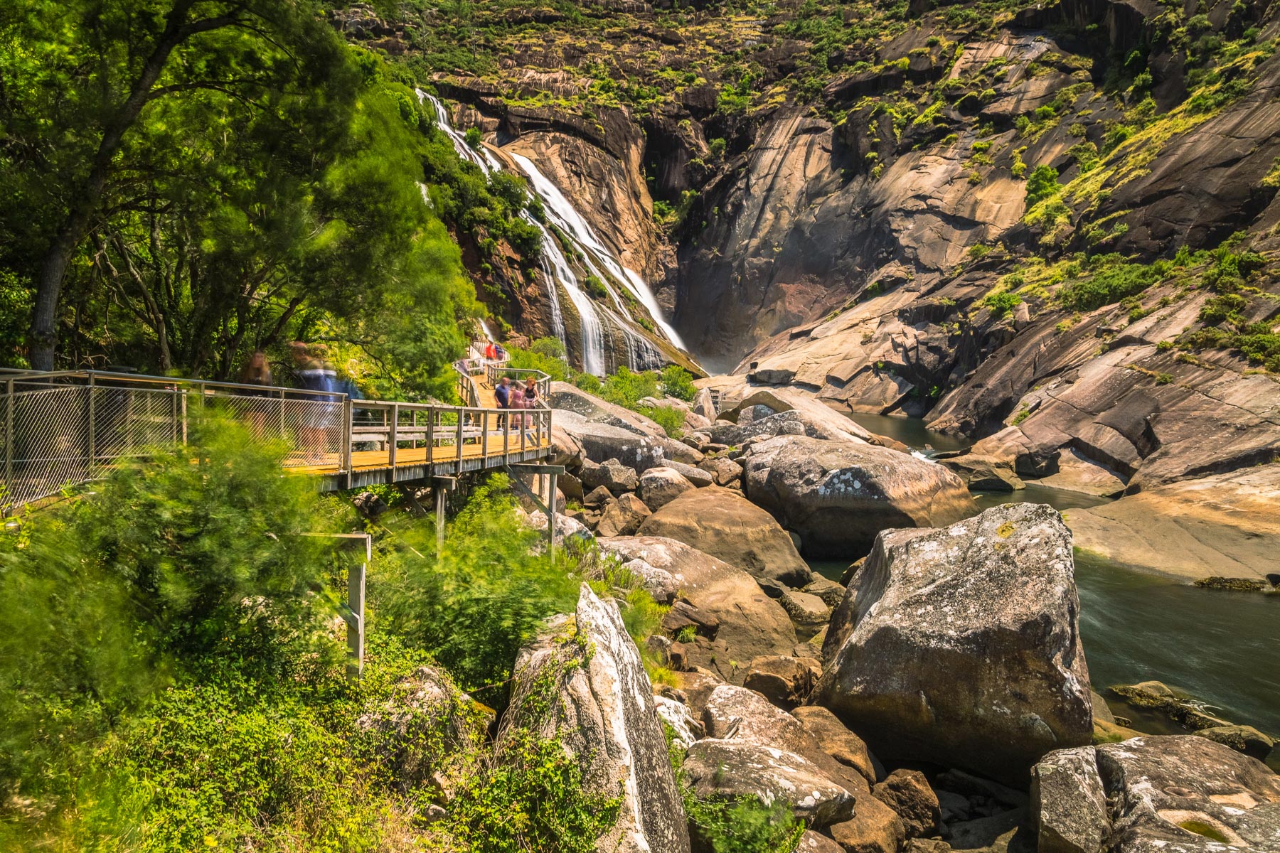
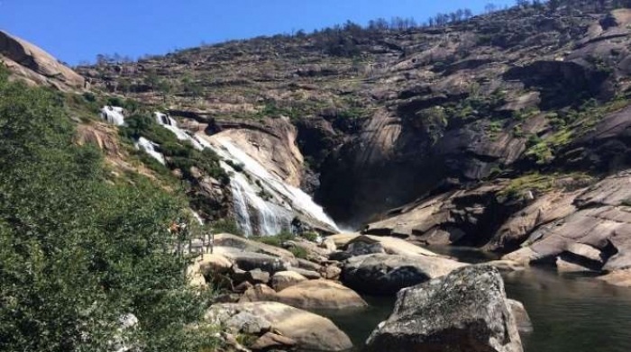
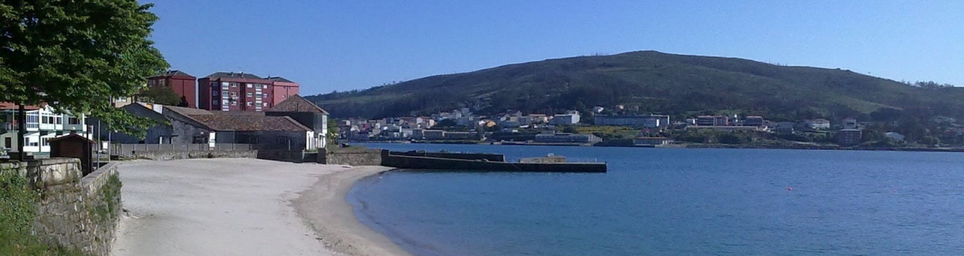
In the Corcubión estuary you can visit places such as the cape and lighthouse of Fisterra, the beach of Carnota, Mount Pindo (known as the Celtic Olympus), the waterfall of Ézaro at the mouth of the Xallas river, the largest granary in Galicia in Carnota or the town of Lira with its unique views of the Atlantic Ocean.

Lighthouses, rivers, beaches and much more on the Costa da Morte

Other places of interest in Corcubión

San Marcos Cruceiro
The Cruceiro de San Marcos, a traditional cruceiro (Galician granite wayside cro...
Lobeira Islands Lighthouse
The Lobeira Islands are two small archipelagos that are called Lobeira Grande an...
Corcubión Estuary and Xallas River
The third estuary of the Costa da Morte seen from north to south is that of Corc...
Medieval Fair of Corcubión
The “Medieval Fair of Corcubión” is a journey to the past with which...
St. Mark’s Church
This church has been declared an “Asset of Cultural Interest”. This ...
Corcubión: Surroundings of Cape Cee
A somewhat remote location that allows you to have a panoramic view from Fisterr...
Corcubión Estuary and Lobeira Island
In the Corcubión estuary is the island of Lobeira. Inhabited by seagulls and cor...
Route from Corcubión to Cee lighthouse
Route: Linear Start/finish point: Villa de Corcubión Length: 3.83 km (one way) A...
Historic-Artistic Site of Corcubión
The municipality of Corcubión is located in the extreme west of the province of ...
A Cova (Corcubión)
Under a hidden path you can access the beach of A Cova, in the parish of Redonda...